

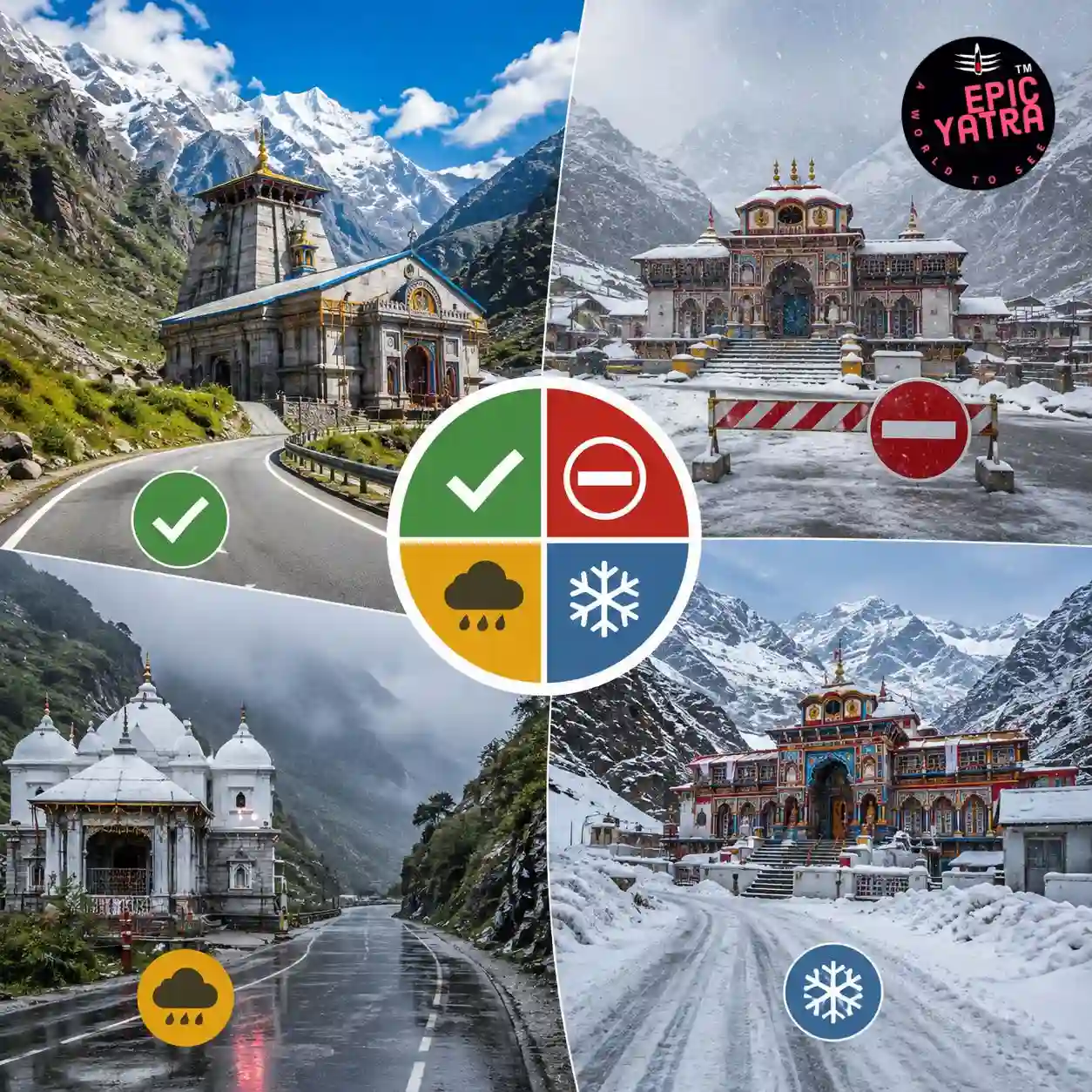
Planning the Char Dham Yatra? Before you begin your spiritual journey, checking the Char Dham road status is one of the most important steps. Every year, thousands of pilgrims travel to Yamunotri, Gangotri, Kedarnath, and Badrinath through the Himalayan roads of Uttarakhand. However, these routes are often affected by heavy rainfall, landslides, snowfall, road widening projects, and traffic restrictions.
Knowing today's road conditions helps you avoid delays, choose the safest route, and plan your journey with confidence.
Whether you're travelling by private car, tempo traveller, taxi, or bus, this guide covers the latest information about road accessibility, weather conditions, landslide-prone stretches, and travel tips for all four Char Dham routes.
| Route | Current Status | Road Condition | Travel Advice |
|---|---|---|---|
| Haridwar → Yamunotri | Usually Open | Good with mountain curves | Drive carefully during rain |
| Haridwar → Gangotri | Usually Open | Good | Watch for falling rocks in a monsoon. |
| Haridwar → Kedarnath (Sonprayag) | Usually Open | Moderate | Check weather before departure |
| Haridwar → Badrinath | Usually Open | Good | Temporary closures possible during heavy rain |
The roads leading to the Char Dham temples pass through high-altitude Himalayan terrain. During the yatra season, road conditions can change quickly because of:
Ignoring road updates can result in long delays or force you to change your travel plans.
The traditional Char Dham Yatra follows this sequence:
Haridwar/Rishikesh → Yamunotri → Gangotri → Kedarnath → Badrinath → Rishikesh
The entire journey covers approximately 1,500–1,700 km, depending on your itinerary. Most pilgrims complete the yatra in 10–12 days.
The road journey to Kedarnath is one of the busiest during the Char Dham Yatra from Haridwar.
Haridwar → Rishikesh → Devprayag → Srinagar → Rudraprayag → Agastyamuni → Guptkashi → Phata → Sonprayag → Gaurikund
From Gaurikund, pilgrims must trek around 16 km to reach Kedarnath Temple.
Pay extra attention while crossing:
During heavy rainfall, authorities may temporarily stop vehicle movement until roads are declared safe.
Morning travel is strongly recommended because afternoon rainfall is common during the monsoon season.
The road to Badrinath is comparatively wider than the Kedarnath route. However, several mountain stretches remain sensitive during heavy rain.
Haridwar → Rishikesh → Devprayag → Srinagar → Rudraprayag → Karnaprayag → Chamoli → Joshimath → Badrinath
Most of the route is well maintained under the Char Dham All-Weather Road Project. Still, temporary closures may occur due to:
Authorities usually clear debris quickly, but delays of a few hours are possible during intense rain.
Gangotri is connected by a scenic mountain road that passes through forests, valleys, and river gorges.
Haridwar → Rishikesh → Chamba → Uttarkashi → Harsil → Gangotri
The road is generally in good condition during the yatra season. However, monsoon rains can trigger landslides in higher-altitude sections.
Landslide Zones
Yamunotri is the first destination in the Char Dham circuit.
Haridwar → Rishikesh → Barkot → Janki Chatti
From Janki Chatti, pilgrims trek around 5–6 km to Yamunotri Temple.
The road remains open for most of the pilgrimage season. However, heavy rainfall may affect travel near Barkot and Janki Chatti.
Sensitive Areas
Authorities monitor these stretches regularly during monsoon months.
Road conditions remain most stable during:
May to June – Pleasant weather and fully operational routes.
September to October – Clear skies after the monsoon with improved visibility.
During July and August, travellers should stay alert due to frequent rainfall, landslides, and temporary road closures.
Weather plays a major role in determining the Char Dham road status. Since all four shrines are located in the Himalayan region, conditions can change within a few hours. Before starting each day's journey, always check the latest weather forecast.
The monsoon season (July–August) is one of the most challenging times to travel in Uttarakhand. While the Char Dham Yatra 2027 usually continues, weather-related disruptions are common.
If heavy rainfall is forecast, avoid unnecessary travel and follow instructions from local authorities.
Although road conditions have improved significantly under the Char Dham All Weather Road Project, several stretches remain vulnerable during heavy rainfall.
| Route | Sensitive Locations |
|---|---|
| Kedarnath | Devprayag, Rudraprayag, Guptkashi, Sonprayag |
| Badrinath | Pipalkoti, Helang, Joshimath, Lambagad |
| Gangotri | Dharasu Bend, Gangnani, Harsil, Sukki Top |
| Yamunotri | Barkot, Hanuman Chatti, Janki Chatti |
Drive carefully in these areas and never stop your vehicle directly below unstable slopes.
Traffic congestion is common during peak pilgrimage months, especially on weekends and public holidays.
Following these precautions can help make your Char Dham Yatra safer and more comfortable.
Carry the following essentials to handle varying weather and road conditions:
If you are planning a self-drive trip, keep these points in mind:
Inspect brakes before starting each day.
For the most reliable information before and during your journey, refer to official government sources and trusted local updates.
You can monitor:
Checking updates every morning during your trip is highly recommended, especially during the monsoon season.
Roads generally remain open during the pilgrimage season. However, temporary closures may occur due to heavy rainfall, landslides, snowfall, or maintenance work. Always check the latest updates before departure.
The Kedarnath and Badrinath routes experience more frequent landslides during the monsoon, especially around Rudraprayag, Joshimath, and Lambagad.
Yes, but extra caution is required. Monitor weather forecasts, follow government advisories, and allow additional travel time for possible delays.
Yes. Vehicles can travel up to Sonprayag. From there, shuttle services operate to Gaurikund, where the 16 km trek to Kedarnath begins.
The route is generally well-maintained. However, heavy rain can lead to temporary closures due to falling rocks or landslides.
May, June, September, and October usually offer the most stable road and weather conditions.
Road conditions can change several times a day during bad weather. Checking updates before leaving your hotel each morning is recommended.
Yes, but they become less frequent in higher-altitude areas. Refuel whenever you have the opportunity.
Yes. Small cars can travel on the Char Dham routes, provided they are in good condition and driven carefully on mountain roads.
No. Night driving is generally discouraged because of poor visibility, steep mountain roads, and the risk of landslides.
Minor blockages are often cleared within a few hours. Major landslides may require more time, depending on weather and road conditions.
If you're unfamiliar with Himalayan roads, booking a Char Dham tour package with experienced local drivers can provide added safety, convenience, and logistical support.
The Char Dham road status can change rapidly due to weather, landslides, and traffic conditions. Staying informed before and during your journey is the key to a safe and hassle-free pilgrimage. Whether you're heading to Kedarnath, Badrinath, Gangotri, or Yamunotri, checking live road updates, weather forecasts, and official advisories can help you avoid unnecessary delays and travel with confidence.
With proper planning, the right vehicle, and a flexible itinerary, your Char Dham Yatra can be both spiritually fulfilling and safe.